
Mapbox Settings
If you have base maps that include additional information (such as labels or fire perimeters), you may add these in the form of a custom WMS URL. To add a layer of your choice, click the settings gear icon located to the right of the map settings title.
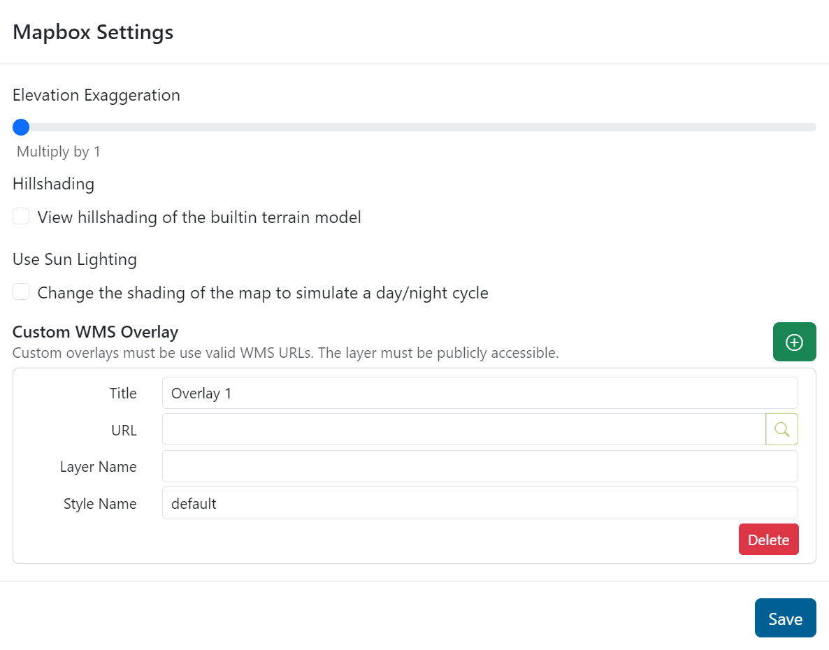
From the Mapbox Settings, add a layer by entering the URL in the Custom WMS Overlay section. You may add identifying features such as title, URL, layer name, and style name. Click to save your selections, and
to remove any overlays.
Note: To add a custom WMS URL, the layer must be publicly accessible.
Elevation Exaggeration, Hillshading, and Sun Lighting
Place the map in 3D mode and turn on elevation exaggeration, hillshading, and sun lighting.