
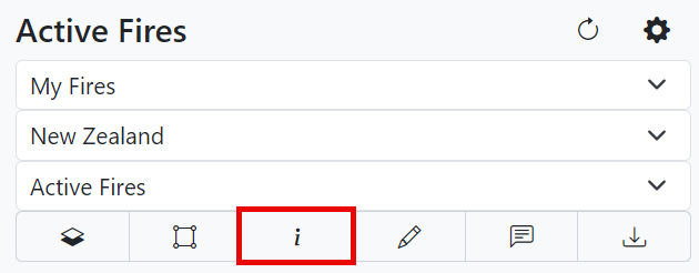
Simulation Information, Edit Simulation, Comment, and Download
Simulation Information
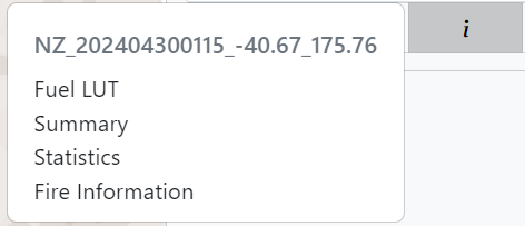
Click![]() to view more information on the simulation.
to view more information on the simulation.
Summary
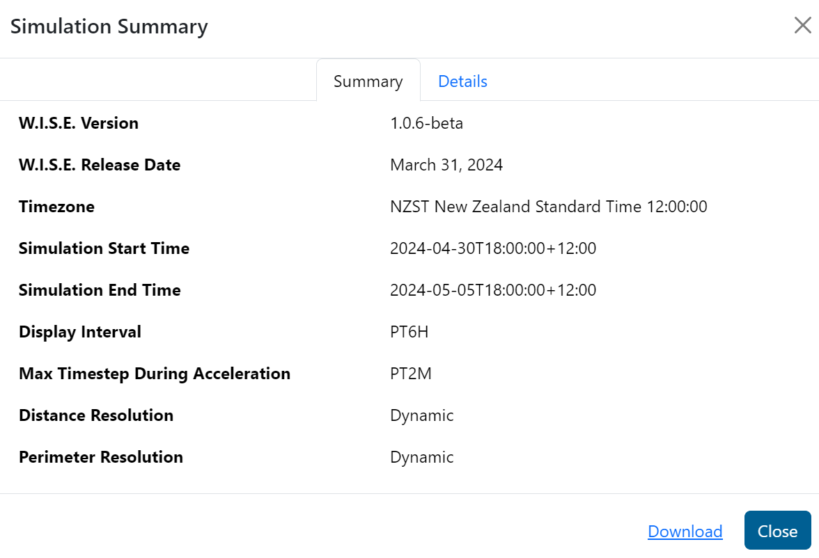
Statistics
Open Statistics to view statistics on the fire. Click on the header to add the static to the chart. Click on the data points for more information on the timesteps. Click on the header a second time to show the legend. Click once more to remove the data from the chart.
Click ![]() to download the data in a CSV. Click
to download the data in a CSV. Click ![]() to download the chart in a .png format.
to download the chart in a .png format.
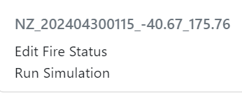
Edit Simulation
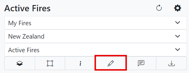
Edit a simulation’s fire status and run a simulation with manual configurations.
Comment
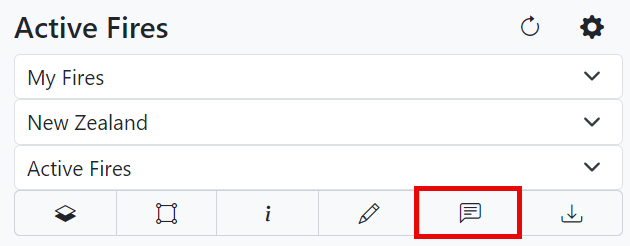
Leave a comment for others for others in your agency to view.
Click
 to tag someone.
Click
 to identify a fire.
Click
 to make the comment private.
 Click
 to add an attachment.
Download
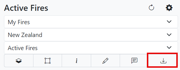
Download various simulation files and outputs.
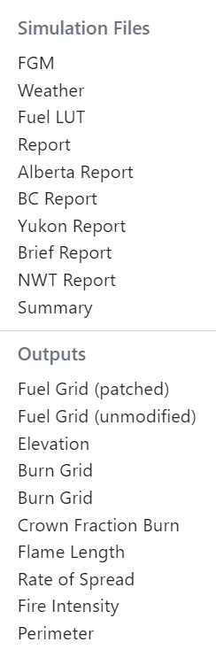
Use the files listed under simulation files to start creating reports for your agency. Use the files listed under outputs for downloading and using in a tool such as ArcGIS.