
Select an Incident on the Map
The first way to select an incident is by tapping on an incident on the map. To do this follow the steps below:
Open the Map Layers panel and turn on the IRWIN Incidents reference layer.
Close the Map Layers panel.
Zoom in to the incident you would like to view.
Tap on the incident on the map. Note: If you do not zoom in close enough, the incident list will populate the closest incidents in the area.
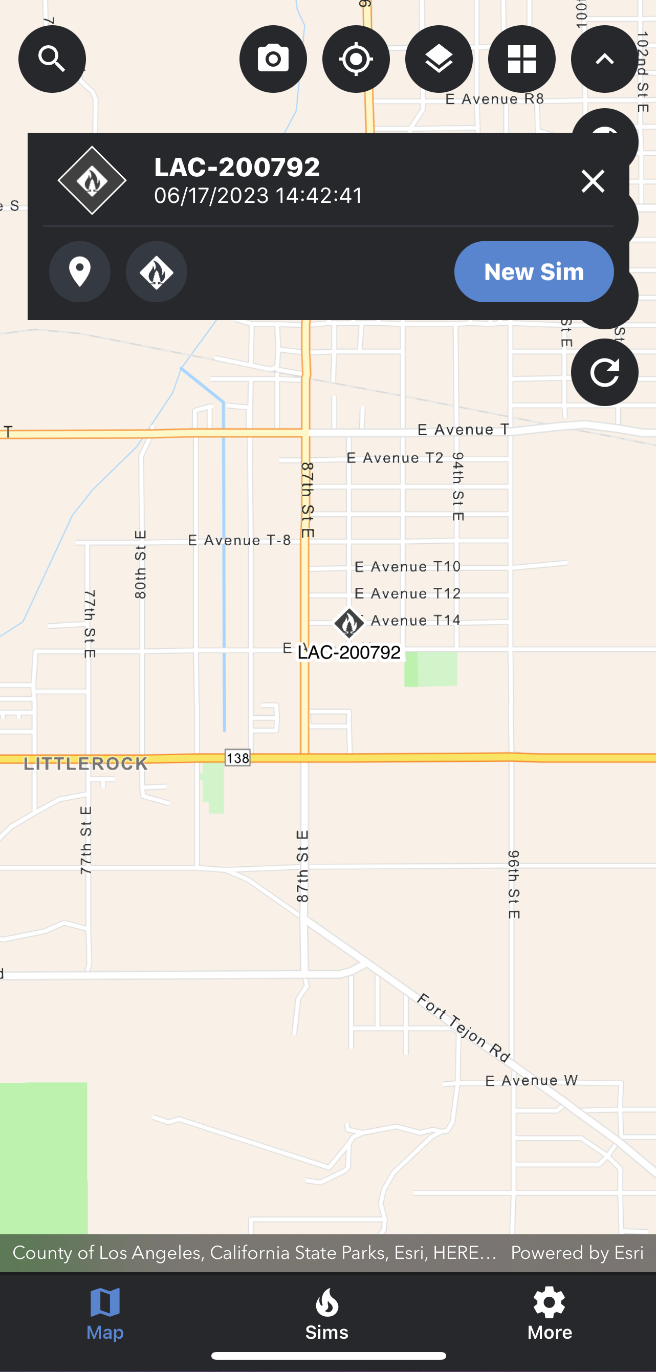
Once an incident has been selected, a pop-up card will appear at the top of the map screen.
This card will contain an incident icon representing the incident status, the incident name, the containment level, the daily acreage for the incident, the created date and a dropdown to view the entire incident list (feature coming soon).
If you navigate away from the incident on the map, you can zoom back to the incident by tapping the map pin icon in the incident card (feature coming soon).
To deselect or close the incident card, tap the x icon location in the top right-hand corner of the incident card.