April 18, 2024 - v 2.4.4.4
Name Changes
WFA-E is now Wildfire Analyst or WFA
FireCast Identify is now FireRisk Identify
New Features!
Combined Incident List panel and Incident icons into one tool on the Integrations Toolbar. Now you can display both the incident icons on the map and the incident list panel using the same icon, consistent with the other Integration tools
Incident icon size increases with acreage
Added ability to toggle on/off incident names
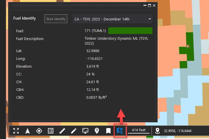
Moved and Enhanced the Identify Fuel tool to the Navigation toolbar. This new tool makes it easier to retrieve surface and canopy fuel information at a particular location

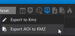
New Export to AOI option for Lightning, Incidents, and Hotspot locations

Added a button that will select the current time on the timeline

Added Fire Behavior Index (FBI) value to Lightning locations and added the ability to toggle lightning symbology between FBI value and Real Time
Added a Search bar to the Map Layers panel

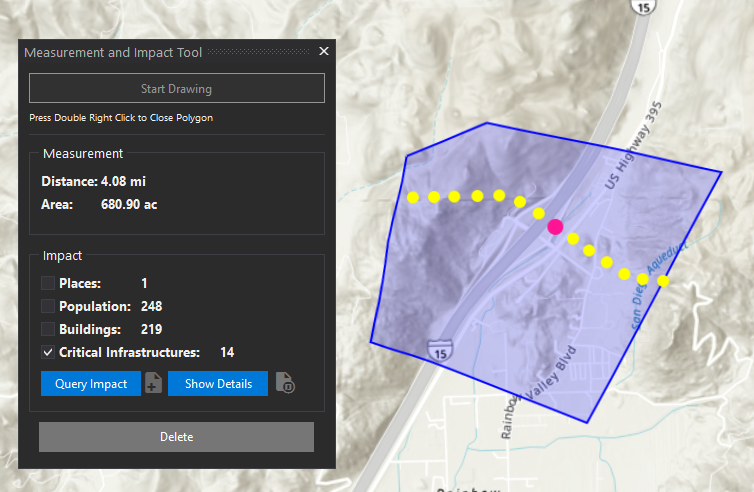
Added a Critical Infrastructure category to the Impact Analysis results that shows transmission line locations as points

When using a polygon as an ignition location in FireSim
Polygons no longer get converted to polylines
Simulations now only burn from the outside edge of a polygon, not the interior
This changes the workflow for simulating using an existing fire perimeter as the ignition location. It eliminates the need to create a custom fuel patch for the area inside the fire perimeter.
Added an option to export FireSim perimeters to geojson format
Polygon mapping features from Tactical Analyst now have transparency automatically applied so you can see other features underneath
Added Weather Settings:
minimum accumulated precipitation 1h
minimum accumulated precipitation 24h
Bug Fixes
Fixed an acreage discrepancy between FireSim results and the One Page report
Fixed a bug that prevented users from exporting the Rate of Spread forecast data
