Hourly Weather Prediction Data
The FireRisk/FireSim solution uses the daily Netcdf weather files provided by DTN. This dataset currently provides the most extensive and complete data for weather forecasts. However, in order to facilitate the use of the information, all gridded points have been projected into a raster layer with similar characteristics to the Netcdf initial file (396 columns x 486 rows with an approximate cell size of 2km). The result is an almost identical output to the raw weather file but in a much easier to use data structure which allows for better modeling and map visualization performance.
The fire spread predictions use the weather variables and both Herbaceous and Live Fuel Moisture calculated with other methodologies (see more details below).
Note that Wind Speed and direction at 10m provided by original files are internally converted into 20 feet and midflame height wind, based on fuel and canopy characteristics (Andrews 2012).
In addition, since the raw NetCDF file may have some invalid data (NoData -99 values), all grid points with negative 1h moisture content have been replaced by the closest valid data point in the grid.
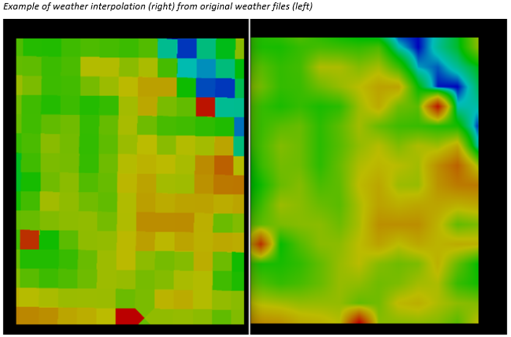
To increase the accuracy of the fire spread prediction model, weather variables are further interpolated to the working cell size used (around 30m) using the four closest point grids to the given cell. This is done on the fly in the Technosylva HPC environment as the simulation evolves in time. The following example shows an example of the weather data interpolation.

