
Using Exposure Mode
Selecting Exposure from the Simulation Mode menu will allow you to run an exposure analysis for a vulnerable asset.
Changing the traditional approach of "What will the fire do under these conditions?", we created this simulation mode to answer questions like "How much time do I have if a fire happens around this area, under these weather conditions?".
The exposure mode of WFA computes for each cell, the minimum time required for a fire to reach the defined exposure analysis points (or 'fireshed').
It starts by defining the exposure analysis points or lines as an input. All standard outputs, including the fire paths are also generated. This analysis provides a modeling framework for analyzing defense actions, such as evacuation times of vulnerable assets. By identifying structures or wildland communities, this mode will determine the time of arrival providing a baseline for preventive measure.
One limitation of this simulation mode is that it cannot include the effect of spotting, so it can underpredict in conditions where spotting occurs.
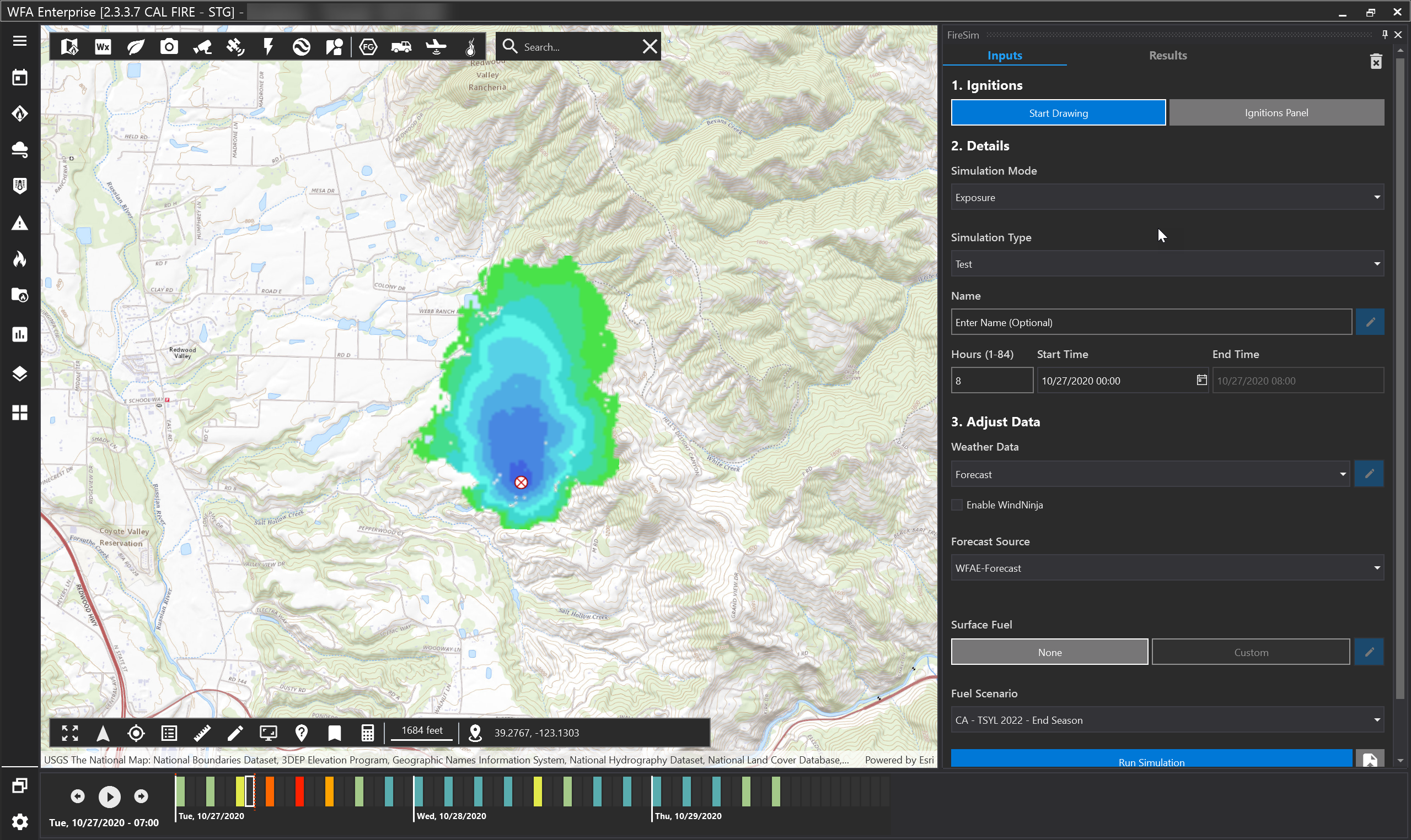
Exposure mode shows how long it will take a wildfire to reach the entered location. Bright green areas will take longer to reach the location than the darker blue areas.
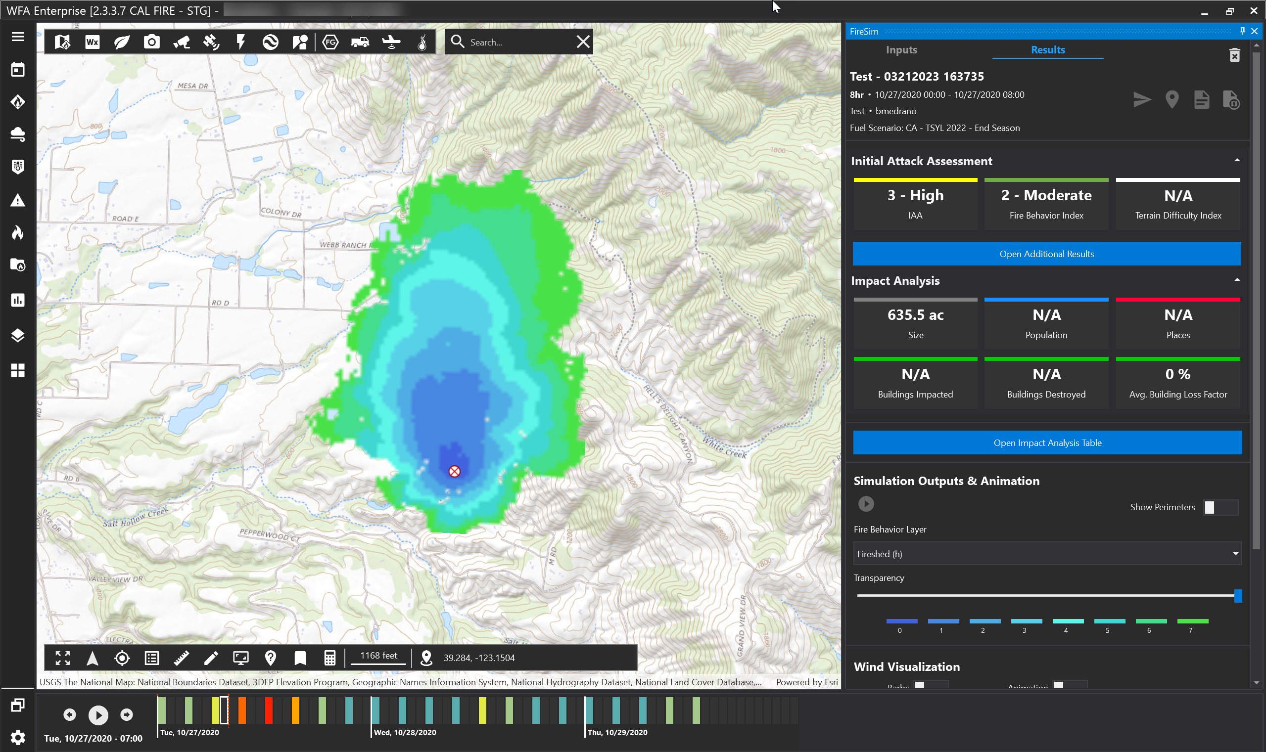
Note: Exposure simulations are to be used as a preventative measure. Therefore, Population, Places, Buildings Impacted, Buildings Destroyed, and Average Building Lost Factor will be categorized as “N/A.” Thus, the Impact Analysis Table does not exist for exposure sims, but rather all the results are available within the Additional Results Table and the reports.