
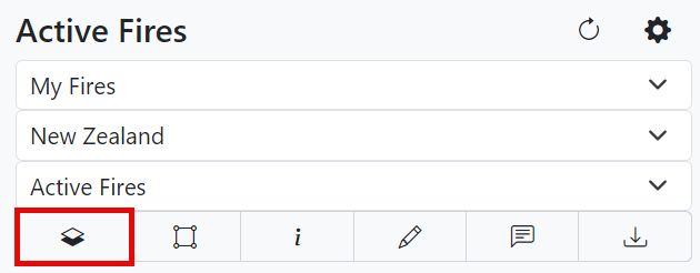
Grid and Vector Options
Grid Options
Open grid options to view additional layer information on the fire.
Fuel Grid
Patched: User-modified fuels.
Unmodified: Fuels provided by agency.
Elevation
Click show to show the elevation used for modeling on the map.
Burn Grid
Deterministic: The results of a deterministic burn grid show the fire being burned once by using pre-configured modeling conditions.
Probability: Shown as a transparency gradient.
Percentile: Probability of area being burned by the fire. The legend is shown in percentiles.
Accumulated: The accumulated burn grid uses the weather model, the same pre-configured modeling conditions, and fuel grid. Look at the legend on the map for the number of members used for modeling.
Rate of Spread
To view the rate of spread, click one of the maximum or mean options. Go to the map section in user settings to change the color range if needed.
Flame Length
To view the flame length, click one of the maximum or mean options. Go to the map section in user settings to change the color range if needed.
Fire Intensity
To view the fire intensity, click one of the maximum or mean options. Go to the map section in user settings to change the color range if needed.
Crown Fraction Burn
To view crown fraction burn, click one of the maximum or mean options. A strike-through on the crown fraction burn indicates no brown burned.
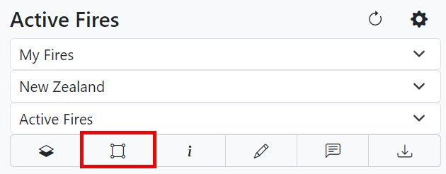
Vector Options
Select timesteps under the vector options menu to view an animation on the simulation perimeter.
Use the time player to play, pause, fast-forward, and rewind the simulation animation. Once the animation begins, the weather used for modeling appears in the lower right-hand corner.
Note: Use the![]() button to remove any of these layers.
button to remove any of these layers.