Map Tools
![](../__attachments/11027185687/image-20230524-225323.png?inst-v=89fd966d-c93a-41f1-bcb8-6e5719bc54ae)
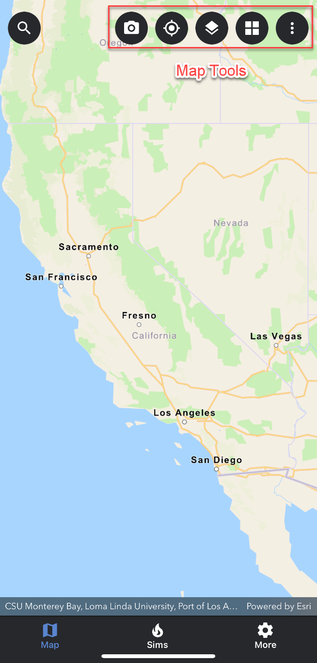
The map tools are located on the upper right hand corner of WFA Mobile. The icons and a short description are as follows:
User Photos:
![](../__attachments/11027185687/image-20230329-225617.png?inst-v=89fd966d-c93a-41f1-bcb8-6e5719bc54ae)
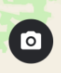
Use the camera icon to upload user photos.
My Location:
Map Layers:
![](../__attachments/11027185687/image-20230329-225704.png?inst-v=89fd966d-c93a-41f1-bcb8-6e5719bc54ae)
Map layers will be stored here - local, web, and risk. Note: risk layers are not available in all versions.
Basemaps:
![](../__attachments/11027185687/image-20230329-225909.png?inst-v=89fd966d-c93a-41f1-bcb8-6e5719bc54ae)
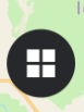
Basemaps will be stored here (local and downloaded).
Additional Tools:
![](../__attachments/11027185687/image-20230329-230723.png?inst-v=89fd966d-c93a-41f1-bcb8-6e5719bc54ae)
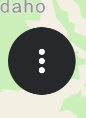
Use the additional tools for more default extent, 3D mode, simulation list, and refresh.